PROJECT:
MCROH
—
Birdseye Grove Perspective
RESEARCH:
ADC2
—
ADC Introduction Image
Infrastructure
Next
RELATED PROJECTS
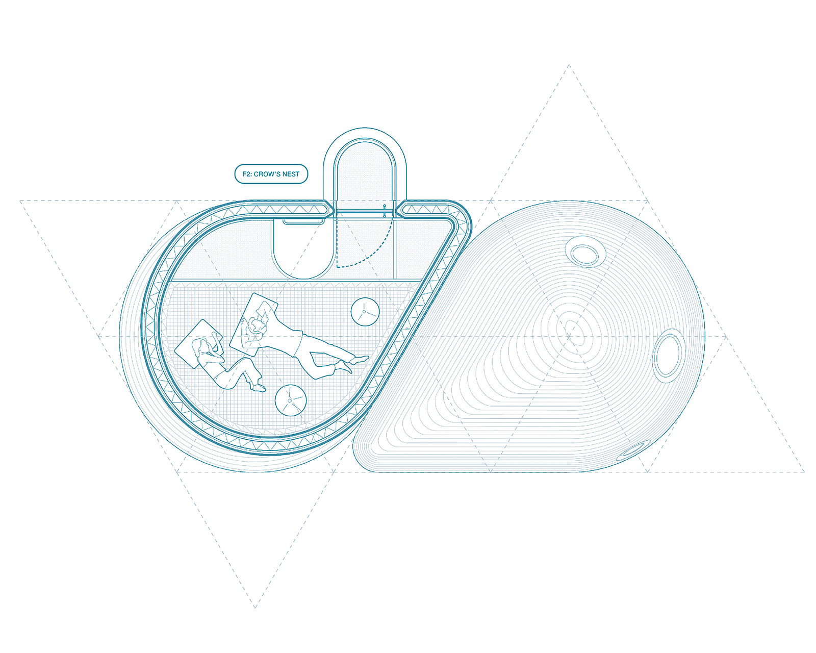
MCROH
—
Microgrove
—
Aquatic Microhome Community
ININ
—
Park Avenue
—
Infrastructural Infill
HEL
—
Hellinikon
—
A Long Center
FVDC
—
Modular Fab Tower
—
Frame | Volume | Delivery | Connection
RELATED RESEARCH
ADC3
—
Alternative Desert Cities 3
—
Phoenix 2070
ADC2
—
Alternative Desert Cities 2
—
Phoenix 2070
ADC1
—
Alternative Desert Cities 1
—
Phoenix 2070
RELATED NEWS
MICROGROVE Housing - Finalist
—
3D Printed Microhome Community
Superscape 2016 - Shortlist
—
Urban Competition