ADC2
—
—
Alternative Desert Cities 2
Kim Unit Plans
Alternative Desert Cities 2
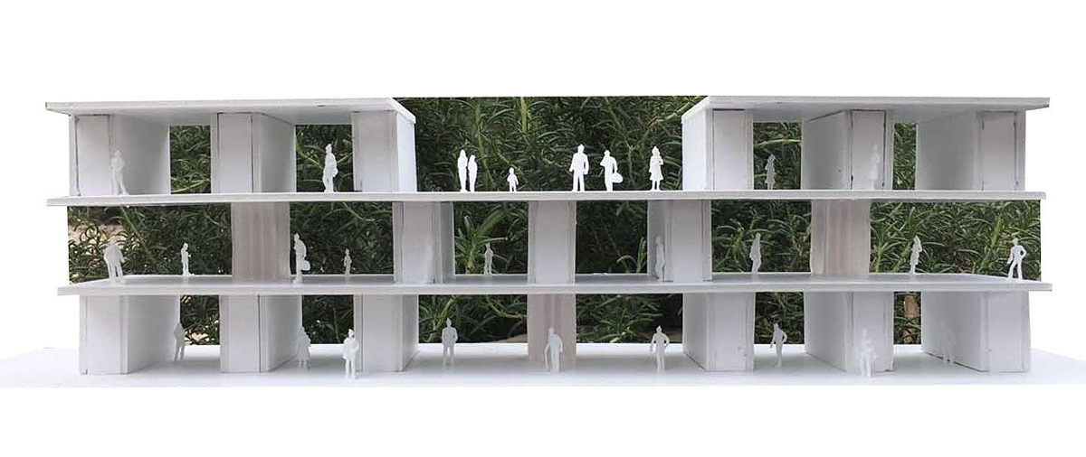
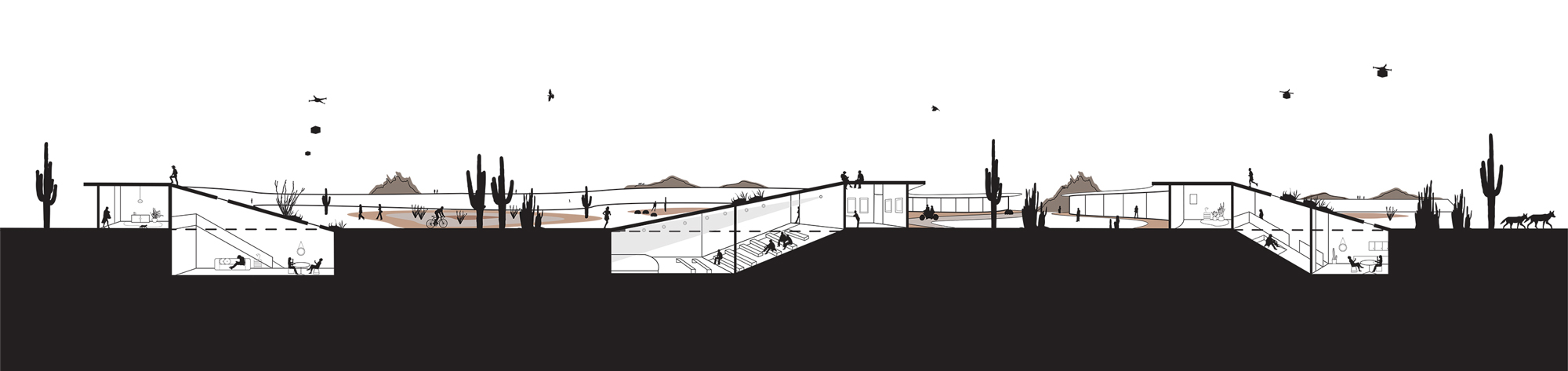
Unit plans showing the various typical plan layouts and user types that will resettle the Salt River by student Cecile Kim
Unit plans showing the various typical plan layouts and user types that will resettle the Salt River by student Cecile Kim
Plans
Housing
Landscape
Teaching
Urbanism
RELATED RESEARCH IMAGES
Previous
Next
RELATED PROJECT IMAGES
OTHER PROJECTS
OTHER RESEARCH