PROJECT:
DIMS
—
Dimensions Furniture 2D
RESEARCH:
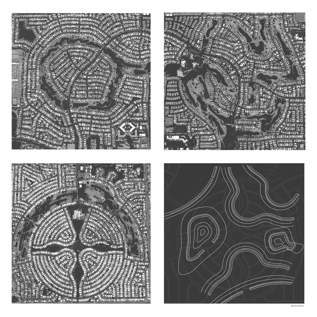
ADC3
—
Shieh Model Plan
Plans
Previous